
Geoenvironmental Consultants Ltd

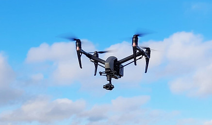
Drone Services
G&J's drone team, with qualified and insured drone pilots and experienced photographers, can provide clients with a new perspective on their land or developments. After carrying out rigorous risk assessments the drone can legally fly up to 120m above ground level to get the wider view, although the best photographs are often taken at a relatively low levels.


Examples of drone services offered by G&J are:
-
Aerial photography as part of a Phase 1 Desk Study or Environmental Impact Assessment;
-
Aerial photography or videography for sales and marketing of land or buildings;
-
Aerial photography for monitoring progress of site development;
-
Provision of georeferenced orthomosaic photo maps of sites;
-
Provision of preliminary topographic mapping;
-
Measurement of stockpile or excavation volumes;
-
Monitoring of progress of earthworks or remediation;
-
Monitoring of materials movement for MMP reporting.